Archive status: confirmed
Project Overview
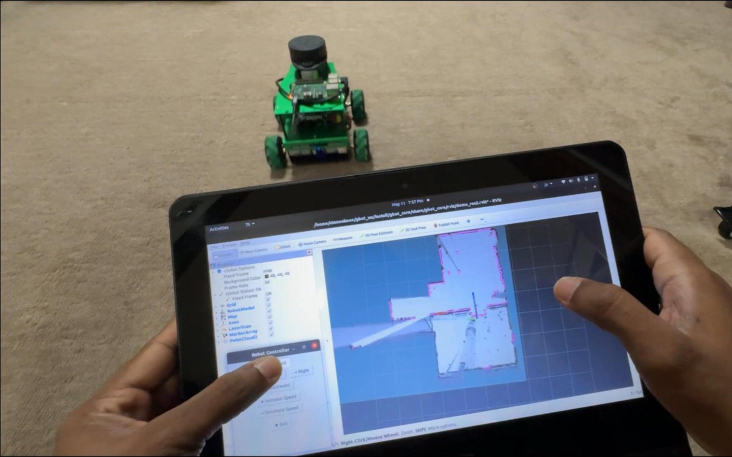
A mobile robot demonstration for real-time mapping, navigation visualization, and SLAM experimentation.
Engineering Context
The project applies mapping and localization to autonomous systems. The migrated archive includes 3 archived files (993.3 MB) that records the implementation and demonstration.
System Architecture
The system can be understood as an input and sensing layer, a control or processing layer, and an output, actuator, dashboard, or user-interface layer. The archived assets are retained in the organized knowledge base for future diagrams and deeper technical reconstruction.
Technologies
- 2D SLAM
- Mobile robotics
- LiDAR
- Robot visualization
Engineering Challenges
- Stable scan alignment
- Mapping while the platform is moving
Results
- Captured a working robot and live mapping workflow
Source and Documentation
Future Improvements
- Publish sensor calibration, map quality, and benchmark details